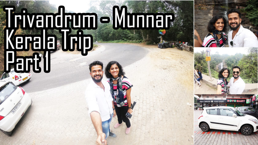
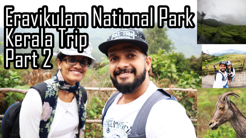
On our 2nd day of Kerala Trip, we are at Munnar exploring its mistic beauty. In the Early morning we started in our car and decided to go through the Munnar top station route. The top station is situated on the border of Kerala and Tamilnadu. It took us approx one and half hour from Mattupatty dam to reach this place. We had reached this place at around 12 pm. The top station is one of the must visit places in Munnar apart from Mattupetty dam and Eravikulam National Park along with the photo spots. Do watch the other videos too from our channel.
https://www.youtube.com/watch?v=ltmv5dKO-CI – Watch this Video on YouTube and Subscribe us for more travel videos!
Do subscribe us – https://www.youtube.com/traveltechies
The road to the top station was very misty as we were about to reach the top. The roads are bit damaged here and there and requires an expert driver to smoothly handle it. The top station was also very misty. But the ambience and view from the top is amazingly awesome.
We spend an hour there. There you can go to the watch tower and a view down there that you should not miss. It is a small trekking experience. The soda lime after the trekking is also worth mentioning. Camping options are there. Maggi, bread toast, tea, coffee also available. Lot of street side shopping options.
Never come to Munnar and leave without getting this heavenly glimpse.
About Top Station
===============
Top Station is a tourist destination in the Kannan Devan hills of Munnar. It is part of Idukki District in Kerala. Top Station is notable as the historic transshipment location for Kannan Devan tea delivered there from Munnar and Madupatty by railway and then down by ropeway to Kottagudi.[1] This area is popular for the rare Neelakurinji flowers. The Kurinjimala Sanctuary is nearby. Top Station is the western entrance to the planned Palani Hills National Park. Top Station offers a panoramic view of the majestic Western Ghats and the valley of Theni district. Top Station is located at 10°07′24″N 77°14′02″E. Its elevation is 1,880 meters (6,170 ft). It is 6.6 kilometers (4.1 mi) southwest of the highest point on the old Kodaikanal-Cochin escape road at 2,260 meters (7,410 ft) on the eastern shoulder of Vandaravu Peak, 10°08′58″N 77°17′19″E.
About Us :
We are Vishakh and Amala(AVIS). We post videos about travel and tech. We are from Trivandrum, Kerala(God’s Own Country) We like to travel a lot.
Thanks for watching. Do subscribe us for more travel videos.
Please do support us:
Youtube : https://www.youtube.com/traveltechies
Fb : https://facebook.com/thetraveltechies
Website : www.thetraveltechies.com
Twitter : https://twitter.com/techies_travel
Pinterest : https://www.pinterest.com/thetraveltechies
Reddit : https://www.reddit.com/user/thetraveltechies/
Instagram : http://www.instagram.com/travel_techies
Tumblr : https://www.tumblr.com/blog/thetraveltechies
#munnar #topstation #kerala #tourism #munnartop #munnartopstation #toppointmunnar #westernghats #southindia #mist #valley #thetraveltechies #traveltechies #avis #amalavishakh #travel #techies #wanderlust #food #foodies #malayalam #malayalamvlog #vlog #keralatourism #munnartourism #india


